Best Places to Kayak Near Osceola, AR
30 public launch points within 50 miles of Osceola, ranked by water conditions, access, and amenities.
Top Picks Near Osceola
 1
1Big Lake National Wildlife Refuge (South)
Standout kayak fishing on Big Lake
 2
2Big Lake National Wildlife Refuge (North)
Calm, sheltered water that's ideal for beginners and paddle boarding
 3
3St. Francis Sunken Lands State Wildlife Management Area
A top-rated lake launch on Ditch No. 59
Neark Lake Access
Arkansas · 1.6 mi

Sans Souci Landing
Arkansas · 4.4 mi

Pillow State Historic Area
Tennessee · 8.9 mi
Pettyville Access
Arkansas · 12.9 mi
Big Lake Relief Ditch Access
Arkansas · 13.1 mi
Youth Lake Access
Arkansas · 13.1 mi
South Mallard Lake Boat Ramp
Arkansas · 13.1 mi
Big Lake National Wildlife Refuge (South)
Arkansas · 13.5 mi
North Mallard Lake Access
Arkansas · 14.0 mi
Simmons Field Access #1
Arkansas · 14.7 mi
Simmons Structure Boat Ramp
Arkansas · 14.7 mi
Four Mile Lateral Access
Arkansas · 14.8 mi
Five Mile Lateral Access
Arkansas · 15.1 mi
Six Mile Lateral Access
Arkansas · 15.7 mi
Six Mile Ditch 28 Boating Access
Arkansas · 15.8 mi
Big Lake National Wildlife Refuge (North)
Arkansas · 16.0 mi

Glen Springs
Tennessee · 16.6 mi
Seven Mile Ditch 28 Access
Arkansas · 16.9 mi
Seven Mile Lateral Access #2
Arkansas · 17.0 mi
Seven Mile Lateral Access #1
Arkansas · 17.0 mi
County Road 955
Arkansas · 17.2 mi
Bo Doc Access
Arkansas · 18.0 mi
North Woods Boat Ramp
Arkansas · 18.4 mi
Rivervale Access
Arkansas · 20.3 mi
Righthand Chute Little River Launch
Arkansas · 20.3 mi
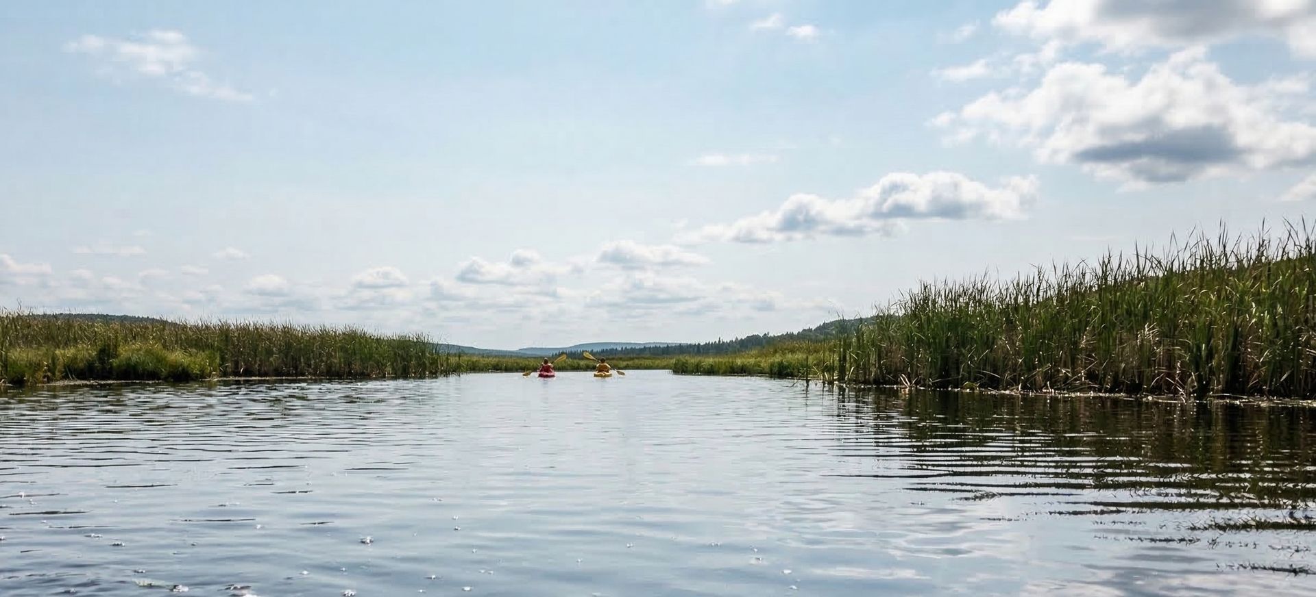
Hornersville Swamp Conservation Area
Missouri · 21.5 mi
Turkey Island Slough Access
Arkansas · 23.2 mi
Cockleburr Slough Access
Arkansas · 23.6 mi
St. Francis Sunken Lands State Wildlife Management Area
Arkansas · 23.6 mi
Combine Field Access
Arkansas · 24.3 mi
Paddling Near Other Cities
Widen your search to towns within an hour of Osceola.
Frequently Asked Questions
What are the best places to kayak near Osceola, AR?
Top picks near Osceola include Big Lake National Wildlife Refuge (South), Big Lake National Wildlife Refuge (North), St. Francis Sunken Lands State Wildlife Management Area. In total there are 30 public launch points within 50 miles, with paddling on lakes, rivers, creeks.
What types of paddling can I do near Osceola?
Near Osceola you'll find opportunities for kayaking, canoeing, and stand-up paddle boarding. Most locations offer beginner-friendly conditions with public boat ramp access.
Are there free kayak launches near Osceola?
Yes! Most public boat ramps near Osceola are free to use. Some state parks and recreation areas may charge a small parking or entrance fee.