Activity
Conditions
Hornersville Swamp Conservation Area
Hornersville Swamp Conservation Area is a public boat ramp on estuary Missouri. This beginner-level spot offers kayaking, kayak fishing. Best visited in spring and summer and fall.
At a Glance
Water Body
Estuary
Launch Type
Boat Ramp
Difficulty
Beginner
Fee
Free
Activities
Kayaking, Kayak Fishing
About This Location
Public launch on local estuary waters in Missouri. Beginner-friendly estuary paddling.
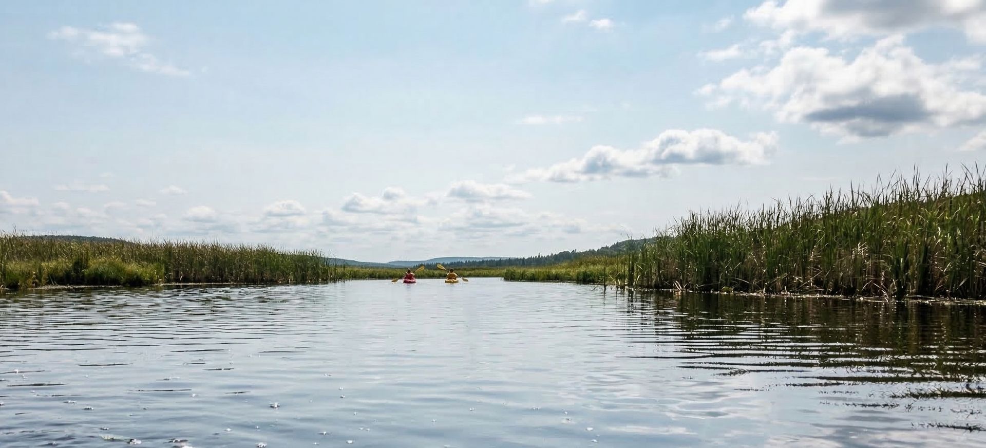
Hornersville Swamp Conservation Area in Missouri accesses local estuary waters, where fresh and salt water mix to create a unique paddling environment.
This is a solid spot for kayaking, with enough room to settle into a comfortable paddling rhythm. Fishing from a kayak is popular here, with the quieter access points providing an edge over motorized boats.
You can expect tidal and sheltered water when paddling here. The recommended season runs March through November.
Paddling Tips
- •Check local conditions before heading out.
- •Wear a properly fitting PFD at all times while on the water.
- •Let someone know your planned route and expected return time.
Frequently Asked Questions
- How do I access Hornersville Swamp Conservation Area?
- Hornersville Swamp Conservation Area is a public boat ramp in Missouri. There is no entrance fee.
- What activities are available at Hornersville Swamp Conservation Area?
- Hornersville Swamp Conservation Area supports kayaking, kayak fishing. The difficulty level is rated beginner, making it great for all skill levels.
- When is the best time to visit Hornersville Swamp Conservation Area?
- The best time to paddle at Hornersville Swamp Conservation Area is during spring and summer and fall. March through November
- What are the water conditions at Hornersville Swamp Conservation Area?
- Water conditions at Hornersville Swamp Conservation Area include tidal, sheltered.
- Is Hornersville Swamp Conservation Area good for beginners?
- Yes, Hornersville Swamp Conservation Area is rated beginner difficulty, making it an excellent choice for first-time paddlers and families.
Location data: USGS ScienceBase · Water conditions: USGS NWIS · Weather: National Weather Service · Coordinates: 35.9995, -90.0901
Quick Facts
- State
- Missouri
- Region
- Midwest
- Coordinates
- 35.9995, -90.0901
Best Paddling in Missouri
Read our complete guide →
Paddler Reviews
Write a Review
Trip Reports
Share a trip report
Sign in to write a detailed trip report for Hornersville Swamp Conservation Area
Sign InPaddle Routes from Here
No paddle routes from this location yet.
Be the first to create one!
Nearby Paddling

Hornersville Access
Missouri · 3.1 mi

Big Lake National Wildlife Refuge (North)
Arkansas · 7.5 mi

Big Lake National Wildlife Refuge (South)
Arkansas · 10.4 mi
Ben Cash Memorial Conservation Area
Missouri · 13.6 mi

Ben Cash Memorial Conservation Area
Missouri · 14.3 mi
Little River Conservation Area
Missouri · 18.3 mi