IntermediateOne-Way15 mi4-6 hours
Congaree National Park: Cedar Creek Canoe Trail
South Carolina · Cedar Creek
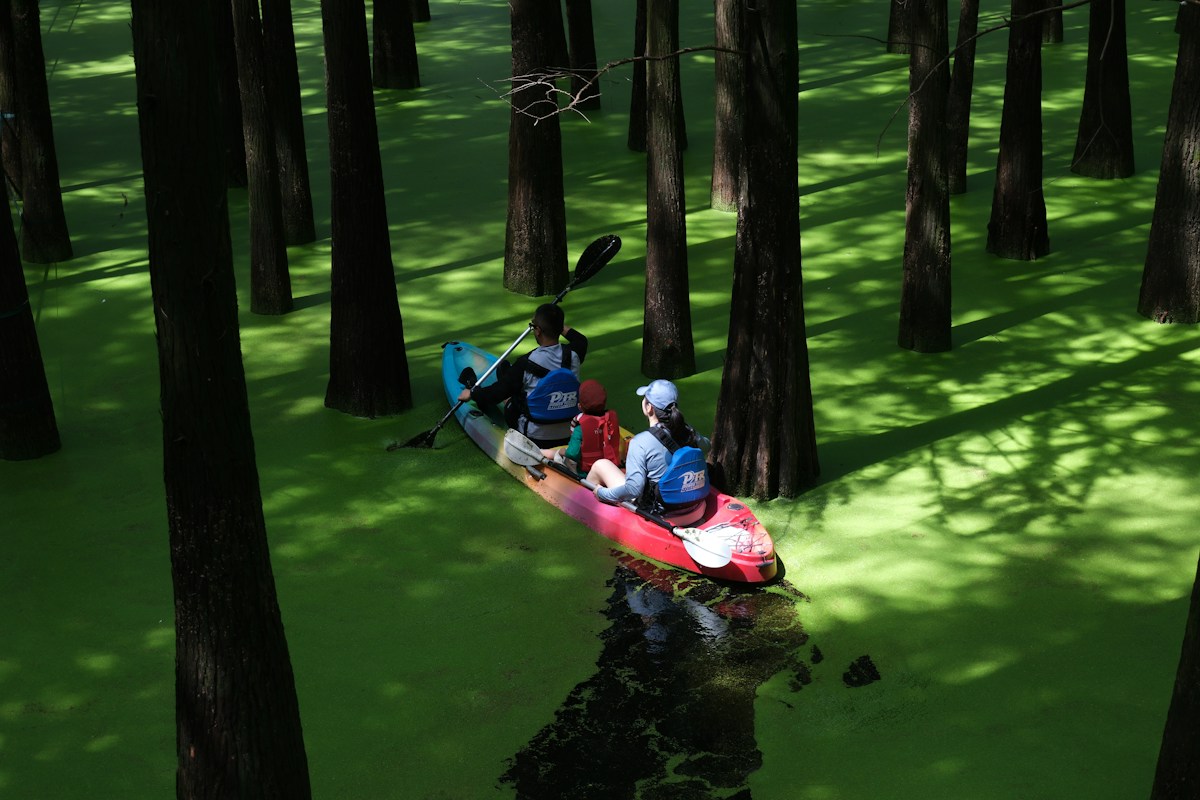
Canoe trail through old-growth forest in Congaree National Park, South Carolina.
Cedar Creek Put-in (South Cedar Creek Rd)
Bates Landing (Highway 601)
At a Glance
Distance
15 miles
Estimated Time
4-6 hours
Difficulty
Intermediate
Route Type
One-Way
Water Body
Cedar Creek
Activities
KayakingCanoeing
Best Seasons
SpringFallWinter
Route Map
Put-in: Cedar Creek Put-in (South Cedar Creek Rd)Take-out: Bates Landing (Highway 601)
About This Route
Paddle through one of the last old-growth bottomland hardwood forests in the southeastern United States. Cedar Creek winds through Congaree National Park under a towering canopy of bald cypress and loblolly pine, with chances to spot otters, barred owls, and prothonotary warblers along the way.
Frequently Asked Questions
- How difficult is Congaree National Park: Cedar Creek Canoe Trail?
- Congaree National Park: Cedar Creek Canoe Trail is rated intermediate difficulty. No specific hazards noted.
- How long does Congaree National Park: Cedar Creek Canoe Trail take?
- Congaree National Park: Cedar Creek Canoe Trail covers 15 miles and typically takes 4-6 hours.
- Do I need a shuttle for Congaree National Park: Cedar Creek Canoe Trail?
- Congaree National Park: Cedar Creek Canoe Trail is a one-way route. Put in at Cedar Creek Put-in (South Cedar Creek Rd) and take out at Bates Landing (Highway 601).
- When is the best time to paddle Congaree National Park: Cedar Creek Canoe Trail?
- The best seasons for Congaree National Park: Cedar Creek Canoe Trail are spring and fall and winter. Congaree National Park: Cedar Creek Canoe Trail is on Cedar Creek.
- What activities are available on Congaree National Park: Cedar Creek Canoe Trail?
- Congaree National Park: Cedar Creek Canoe Trail supports Kayaking, Canoeing.
Quick Facts
- Take-out
- Bates Landing (Highway 601)
- Water Body
- Cedar Creek
- State
- South Carolina
Best Paddling in South Carolina
Read our complete guide →
Paddler Reviews
Share your experience
Sign in to review Congaree National Park: Cedar Creek Canoe Trail