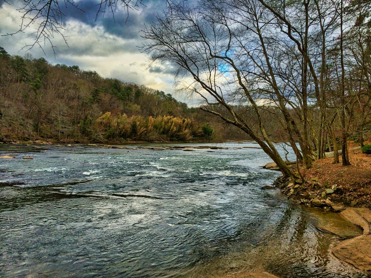
Chattahoochee River: Powers Island to Paces Mill
A 3-mile paddle on the Chattahoochee through Atlanta's forested National Recreation Area with fun Class I-II shoals.
At a Glance
Distance
3 miles
Estimated Time
1.5-2.5 hours
Difficulty
Beginner
Route Type
One-Way
Water Body
Chattahoochee River
Activities
Best Seasons
Route Map
About This Route
The Chattahoochee River National Recreation Area brings wilderness paddling to metro Atlanta. This section from Paces Mill to Powers Island flows through a forested river corridor that feels miles from the city, despite being within sight of I-285.
The river is dam-controlled from Buford Dam upstream, with scheduled releases creating consistent paddling conditions. Class I-II shoals at Paces Mill and Devil's Race Course add fun for kayakers while remaining safe for beginners with basic skills.
Great blue herons wade in shallows, kingfishers dart between banks, and the occasional river otter makes an appearance. The Chattahoochee is one of the most important urban waterways in the Southeast.
Highlights
- •National Recreation Area in metro Atlanta
- •Fun Class I-II shoals
- •Forested corridor feels remote
- •Dam-controlled consistent flow
Safety & Hazards
Dam releases can raise water levels rapidly — check schedule at usace.army.mil. Cold water from bottom-release dam even in summer.
Shuttle Information
Drop a vehicle at Paces Mill (take-out), then drive north to the Powers Island put-in (~10 min via I-285). CRNRA parking fee applies at both units.
Frequently Asked Questions
- How difficult is Chattahoochee River: Powers Island to Paces Mill?
- Chattahoochee River: Powers Island to Paces Mill is rated beginner difficulty. Dam releases can raise water levels rapidly — check schedule at usace.army.mil. Cold water from bottom-release dam even in summer.
- How long does Chattahoochee River: Powers Island to Paces Mill take?
- Chattahoochee River: Powers Island to Paces Mill covers 3 miles and typically takes 1.5-2.5 hours.
- Do I need a shuttle for Chattahoochee River: Powers Island to Paces Mill?
- Chattahoochee River: Powers Island to Paces Mill is a one-way route. Drop a vehicle at Paces Mill (take-out), then drive north to the Powers Island put-in (~10 min via I-285). CRNRA parking fee applies at both units.
- When is the best time to paddle Chattahoochee River: Powers Island to Paces Mill?
- The best seasons for Chattahoochee River: Powers Island to Paces Mill are spring and summer and fall. Chattahoochee River: Powers Island to Paces Mill is on Chattahoochee River.
- What activities are available on Chattahoochee River: Powers Island to Paces Mill?
- Chattahoochee River: Powers Island to Paces Mill supports Kayaking, Canoeing, SUP. Highlights: National Recreation Area in metro Atlanta, Fun Class I-II shoals, Forested corridor feels remote, Dam-controlled consistent flow.
Quick Facts
- Put-in
- Powers Island
- Take-out
- Paces Mill
- Water Body
- Chattahoochee River
- State
- Georgia
Best Paddling in Georgia
Read our complete guide →
Paddler Reviews
Share your experience
Sign in to review Chattahoochee River: Powers Island to Paces Mill