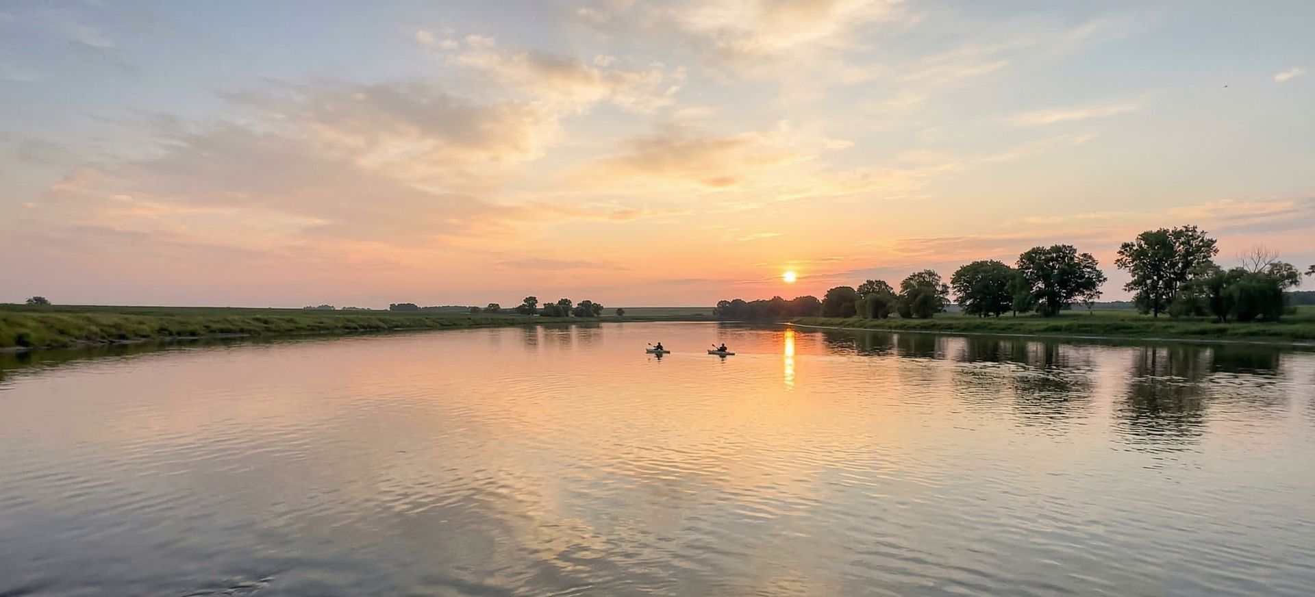
Wisconsin River VFW Canoe Access
Wisconsin River VFW Canoe Access is a public boat ramp on Wisconsin River Wisconsin. This beginner-level spot offers kayaking, canoeing. Best visited in summer.
At a Glance
Water Body
River
Launch Type
Boat Ramp
Difficulty
Beginner
Fee
Free
Activities
Kayaking, Canoeing
About This Location
Wisconsin River VFW Canoe Access offers river paddling on Wisconsin River in Wisconsin.
Located in Wisconsin, Wisconsin River VFW Canoe Access puts you on Wisconsin River with room to explore upstream or downstream from the launch.
Kayaking is the most popular activity here, with the water conditions supporting a range of skill levels. Canoeists can enjoy the calmer sections for a relaxed paddle. Great Lakes paddling combines freshwater vastness with coastal-style conditions and scenery.
Conditions here tend to be mild current, making it suitable for paddlers of all skill levels. Plan your visit for June through August.
Paddling Tips
- •Check local conditions before heading out.
- •Wear a properly fitting PFD at all times while on the water.
- •Let someone know your planned route and expected return time.
Frequently Asked Questions
- How do I access Wisconsin River VFW Canoe Access?
- Wisconsin River VFW Canoe Access is a public boat ramp in Wisconsin. There is no entrance fee.
- What activities are available at Wisconsin River VFW Canoe Access?
- Wisconsin River VFW Canoe Access supports kayaking, canoeing. The difficulty level is rated beginner, making it great for all skill levels.
- When is the best time to visit Wisconsin River VFW Canoe Access?
- The best time to paddle at Wisconsin River VFW Canoe Access is during summer. June through August
- What are the water conditions at Wisconsin River VFW Canoe Access?
- Water conditions at Wisconsin River VFW Canoe Access include mild current.
- Is Wisconsin River VFW Canoe Access good for beginners?
- Yes, Wisconsin River VFW Canoe Access is rated beginner difficulty, making it an excellent choice for first-time paddlers and families.
Location data: USGS ScienceBase · Water conditions: USGS NWIS · Weather: National Weather Service · Coordinates: 43.2979, -89.7267
Quick Facts
- State
- Wisconsin
- Region
- Great Lakes
- Coordinates
- 43.2979, -89.7267
Best Paddling in Wisconsin
Read our complete guide →
Paddler Reviews
Write a Review
Trip Reports
Share a trip report
Sign in to write a detailed trip report for Wisconsin River VFW Canoe Access
Sign InPaddle Routes from Here
No paddle routes from this location yet.
Be the first to create one!
More Paddling on Wisconsin River
6 other launches on this water body
Sauk City Municipal Launch
Wisconsin · 1.9 mi

Mazomanie Landing
Wisconsin · 4.4 mi

Copse Road
Wisconsin · 12.5 mi

Saddle Road
Wisconsin · 12.7 mi

Camp Rest Park
Wisconsin · 12.9 mi

Wisconsin Street
Wisconsin · 17.1 mi
Nearby Paddling
Sauk City Municipal Launch
Wisconsin · 1.9 mi

Fish Lake County Park
Wisconsin · 3.4 mi
Lussier County Park
Wisconsin · 3.8 mi
Summer Oak Cove
Wisconsin · 4.0 mi
Mazomanie Landing
Wisconsin · 4.4 mi

Aleway
Wisconsin · 5.5 mi