Activity
Conditions
Amenities
State Line Bridge
State Line Bridge is a public boat ramp on Big Sandy Creek West Virginia. This beginner-level spot offers kayaking, canoeing. Amenities include parking. Best visited in spring and summer and fall.
At a Glance
Water Body
Creek
Launch Type
Boat Ramp
Difficulty
Beginner
Fee
Free
Activities
Kayaking, Canoeing
Parking
10 spaces (Pull-Off)
About This Location
Public launch on Big Sandy Creek in West Virginia. Beginner-friendly creek paddling.
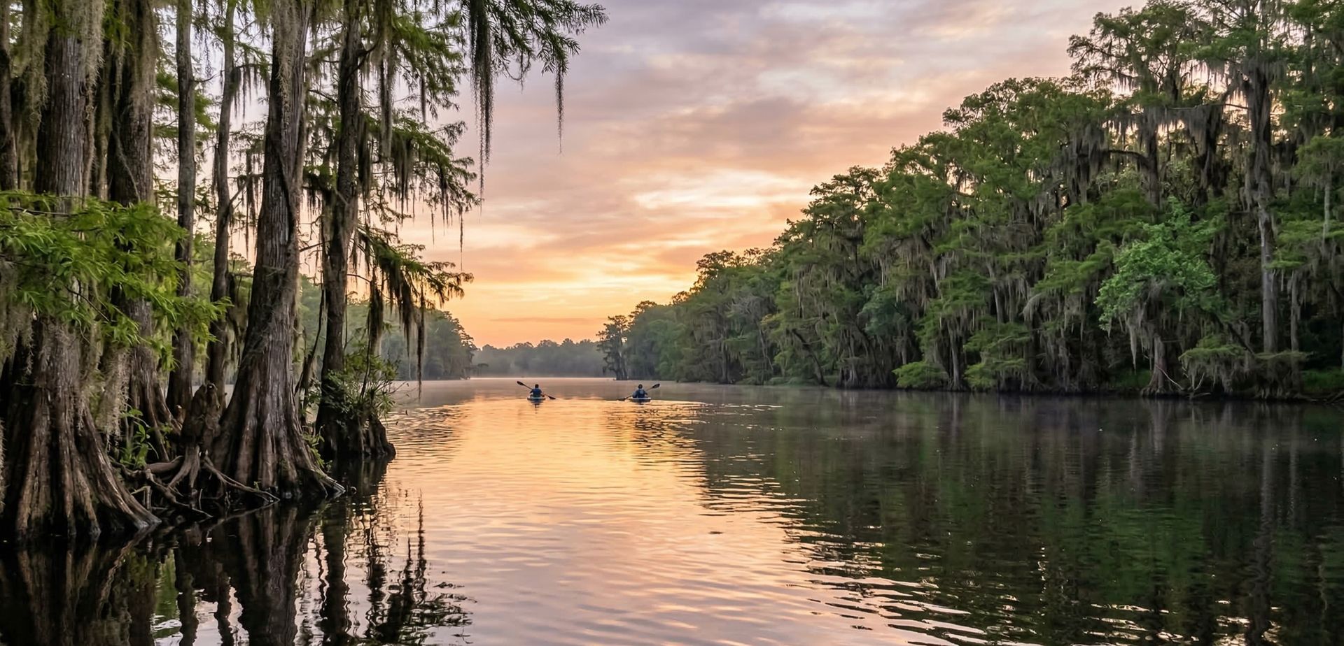
Creek paddlers in West Virginia can put in at State Line Bridge to explore Big Sandy Creek and its shaded, winding channels.
This is a solid spot for kayaking, with enough room to settle into a comfortable paddling rhythm. Canoeing works well here, especially for those looking for a peaceful day on the water.
You can expect mild current and sheltered water when paddling here. The recommended season runs March through November. Facilities include parking.
Paddling Tips
- •Check local conditions before heading out.
- •Wear a properly fitting PFD at all times while on the water.
- •Let someone know your planned route and expected return time.
Frequently Asked Questions
- How do I access State Line Bridge?
- State Line Bridge is a public boat ramp in West Virginia. There is no entrance fee.
- What activities are available at State Line Bridge?
- State Line Bridge supports kayaking, canoeing. The difficulty level is rated beginner, making it great for all skill levels.
- What amenities are at State Line Bridge?
- On-site amenities include parking. Parking: 10 spaces (Pull-Off).
- When is the best time to visit State Line Bridge?
- The best time to paddle at State Line Bridge is during spring and summer and fall. March through November
- What are the water conditions at State Line Bridge?
- Water conditions at State Line Bridge include mild current, sheltered.
- Is State Line Bridge good for beginners?
- Yes, State Line Bridge is rated beginner difficulty, making it an excellent choice for first-time paddlers and families.
Location data: USGS ScienceBase · Water conditions: USGS NWIS · Weather: National Weather Service · Coordinates: 39.7201, -79.6602
Quick Facts
- State
- West Virginia
- Region
- Southeast
- Coordinates
- 39.7201, -79.6602
Best Paddling in West Virginia
Read our complete guide →
Paddler Reviews
Write a Review
Trip Reports
Paddle Routes from Here
No paddle routes from this location yet.
Be the first to create one!
More Paddling on Big Sandy Creek
3 other launches on this water body
Nearby Paddling
Clifton Mills Bridge
West Virginia · 2.7 mi
Bruceton Mills Dam
West Virginia · 4.3 mi
Rockville Bridge
West Virginia · 7.2 mi

Coopers Rock
West Virginia · 8.1 mi
PA FISH & BOAT COMM GREEN CNTY
Pennsylvania · 9.4 mi
Cheat Lake Park
West Virginia · 9.8 mi