Activity
Conditions
Amenities
Grey's Creek
Grey's Creek is a public boat ramp on James River Virginia. This beginner-level spot offers kayaking, canoeing. Amenities include boat ramp, ada accessible. Best visited in spring and summer and fall.
At a Glance
Water Body
River
Launch Type
Boat Ramp
Difficulty
Beginner
Fee
Free
Activities
Kayaking, Canoeing
About This Location
Public launch on James River in Virginia. Beginner-friendly river paddling.
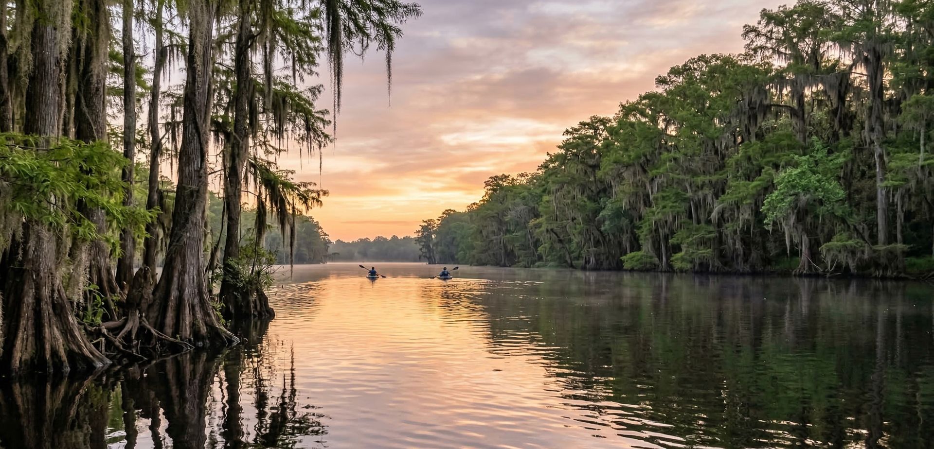
Situated along James River in Virginia, Grey's Creek provides convenient river access for kayakers, canoeists, and other paddlers.
Kayakers will find the waters here well-suited to touring and exploration. The waters here are approachable for canoes, making it a good option for family outings.
Water conditions are generally mild current. March through November is the recommended window for paddling here. Facilities include boat ramp and ada accessible.
Paddling Tips
- •Check local conditions before heading out.
- •Wear a properly fitting PFD at all times while on the water.
- •Let someone know your planned route and expected return time.
Frequently Asked Questions
- How do I access Grey's Creek?
- Grey's Creek is a public boat ramp in Virginia. There is no entrance fee.
- What activities are available at Grey's Creek?
- Grey's Creek supports kayaking, canoeing. The difficulty level is rated beginner, making it great for all skill levels.
- What amenities are at Grey's Creek?
- On-site amenities include boat ramp, ada accessible.
- When is the best time to visit Grey's Creek?
- The best time to paddle at Grey's Creek is during spring and summer and fall. March through November
- What are the water conditions at Grey's Creek?
- Water conditions at Grey's Creek include mild current.
- Is Grey's Creek good for beginners?
- Yes, Grey's Creek is rated beginner difficulty, making it an excellent choice for first-time paddlers and families.
Location data: USGS ScienceBase · Water conditions: USGS NWIS · Weather: National Weather Service · Coordinates: 37.1774, -76.8055
Quick Facts
- State
- Virginia
- Region
- Southeast
- Coordinates
- 37.1774, -76.8055
Best Paddling in Virginia
Read our complete guide →
Paddler Reviews
Write a Review
Trip Reports
Paddle Routes from Here
No paddle routes from this location yet.
Be the first to create one!
More Paddling on James River
6 other launches on this water body

Lawnes Creek
Virginia · 7.6 mi

Deep Bottom
Virginia · 31.7 mi
Dutch Gap
Virginia · 34.4 mi

Osborne Pike Landing
Virginia · 35.5 mi

Ancarrow's Landing
Virginia · 41.2 mi

Huguenot Bridge
Virginia · 48.5 mi
Nearby Paddling
Lawnes Creek
Virginia · 7.6 mi
Morris Creek
Virginia · 9.9 mi
Rte. 623/Morris Creek
Virginia · 12.1 mi

Gloucester Point
Virginia · 17.2 mi
VIMS Boat Basin
Virginia · 17.3 mi

Diascund Landing
Virginia · 18.0 mi