Activity
Conditions
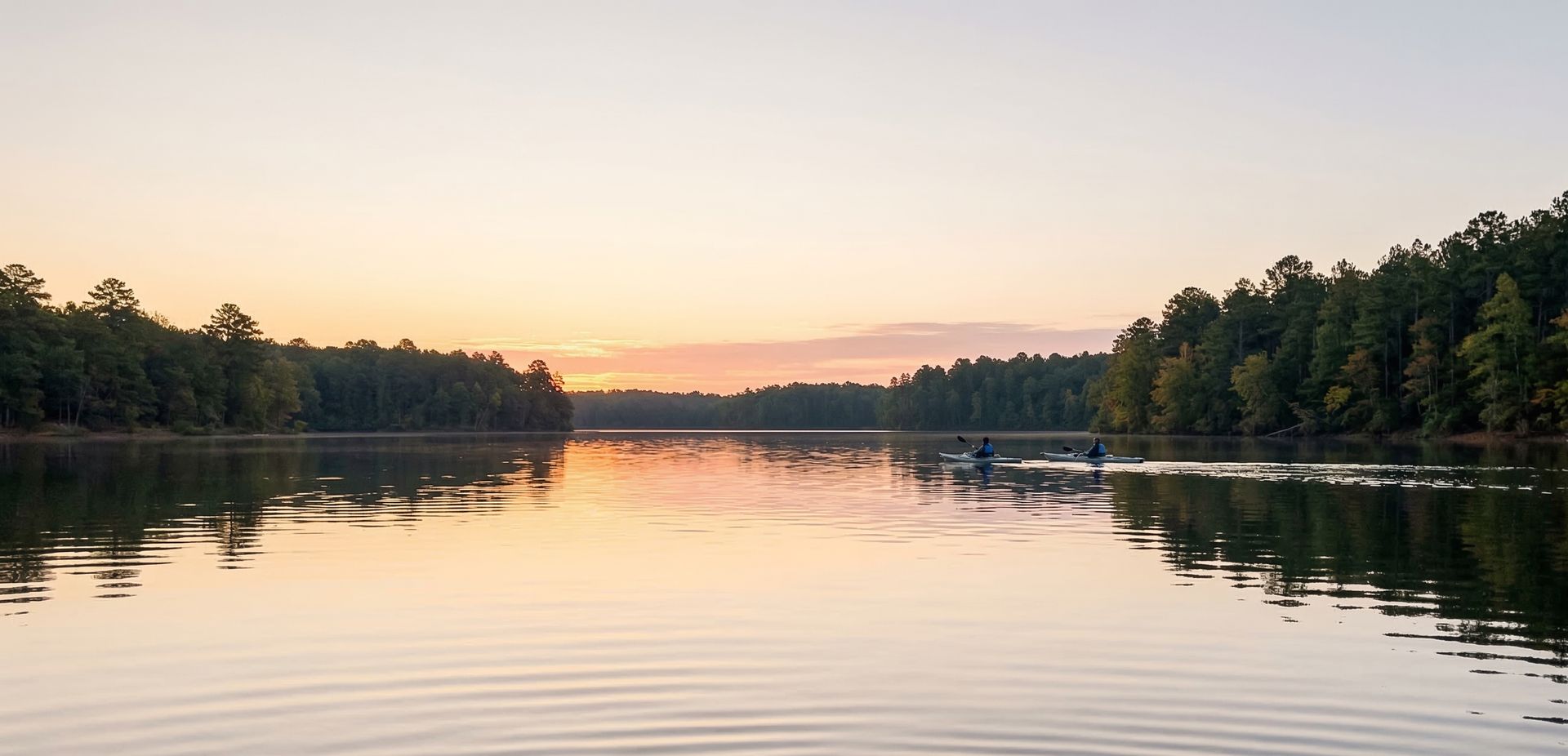
Parris Drive
Parris Drive is a public boat ramp on Ft Loudoun Reservoir Tennessee. This beginner-level spot offers kayaking, canoeing, kayak fishing. Best visited in spring and summer and fall.
At a Glance
Water Body
Reservoir
Launch Type
Boat Ramp
Difficulty
Beginner
Fee
Free
Activities
Kayaking, Canoeing, Kayak Fishing
About This Location
Launch into Ft Loudoun Reservoir, Tennessee. Beginner level with calm and sheltered water.
Parris Drive provides access to Ft Loudoun Reservoir in Tennessee, a reservoir offering calm waters for paddling.
Kayaking is the most popular activity here, with the water conditions supporting a range of skill levels. Canoeists can enjoy the calmer sections for a relaxed paddle. The Southeast's warm climate and diverse waterways support paddling across most of the year.
Conditions here tend to be calm and sheltered, making it suitable for paddlers of all skill levels. Plan your visit for March through November.
New to paddling? This is a great beginner spot.
Calm reservoir waters make Parris Drive ideal for first-timers. Make sure you have the right gear:
Paddling Tips
- •Check local conditions before heading out.
- •Wear a properly fitting PFD at all times while on the water.
- •Let someone know your planned route and expected return time.
Frequently Asked Questions
- How do I access Parris Drive?
- Parris Drive is a public boat ramp in Tennessee. There is no entrance fee.
- What activities are available at Parris Drive?
- Parris Drive supports kayaking, canoeing, kayak fishing. The difficulty level is rated beginner, making it great for all skill levels.
- When is the best time to visit Parris Drive?
- The best time to paddle at Parris Drive is during spring and summer and fall. March through November
- What are the water conditions at Parris Drive?
- Water conditions at Parris Drive include calm, sheltered.
- Is Parris Drive good for beginners?
- Yes, Parris Drive is rated beginner difficulty, making it an excellent choice for first-time paddlers and families.
Location data: USGS ScienceBase · Water conditions: USGS NWIS · Weather: National Weather Service · Coordinates: 35.7845, -84.2192
Quick Facts
- State
- Tennessee
- Region
- Southeast
- Coordinates
- 35.7845, -84.2192
Best Paddling in Tennessee
Read our complete guide →
Paddler Reviews
Write a Review
Trip Reports
Paddle Routes from Here
No paddle routes from this location yet.
Be the first to create one!
More Paddling on Ft Loudoun Reservoir
3 other launches on this water body
Nearby Paddling

Yarberry Recreation Area
Tennessee · 1.0 mi
Fork Creek
Tennessee · 1.0 mi

Lenoir City Park
Tennessee · 1.2 mi

Fort Loudon Marina
Tennessee · 1.3 mi
Tennessee Valley Authority Canal
Tennessee · 1.7 mi

Bussell Ferry
Tennessee · 2.0 mi