
Activity
Conditions
Amenities
Schoharie Crossing, Mile 43.9
Schoharie Crossing, Mile 43.9 is a public boat ramp on Schoharie Creek (Erie Canal) near Fort Hunter, New York. This beginner-level spot offers kayaking, canoeing. Amenities include boat ramp, parking. Best visited in spring and summer and fall.
At a Glance
Water Body
Creek
Launch Type
Boat Ramp
Difficulty
Beginner
Activities
Kayaking, Canoeing
Parking
Parking lot available at boat ramp facility
Cell Service
Good
Calm, sheltered water suitable for first-time paddlers. No significant current or wave hazards expected.
About This Location
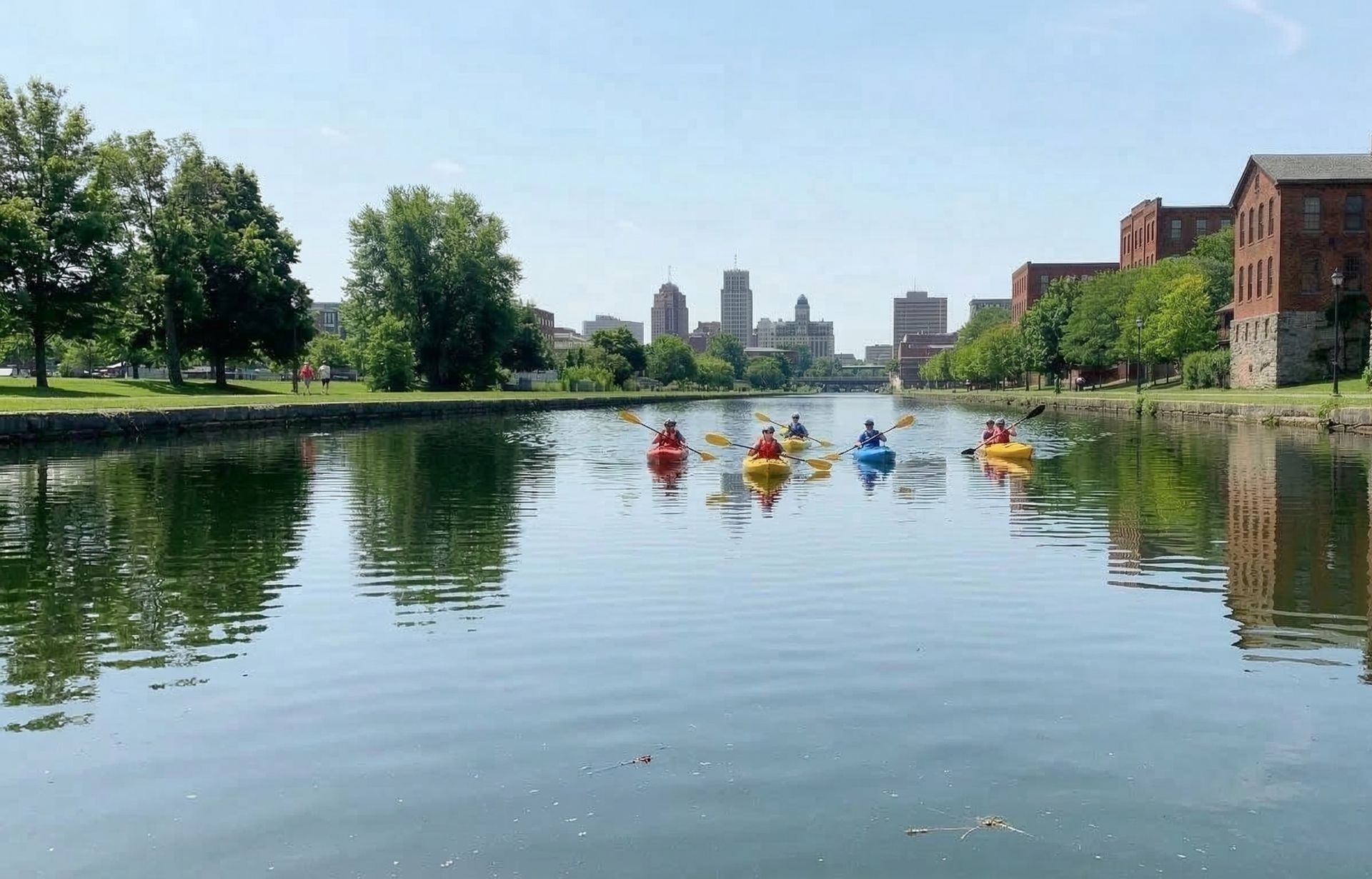
Creek access at Schoharie Crossing, Mile 43.9 near Fort Hunter, New York. Good for kayaking and canoeing.
For a quieter experience on the water, Schoharie Crossing, Mile 43.9 in New York puts you on Schoharie Creek (Erie Canal) with its gentle current.
This is a solid spot for kayaking, with enough room to settle into a comfortable paddling rhythm. Canoeing works well here, especially for those looking for a peaceful day on the water.
Water conditions are generally mild current and sheltered. March through November is the recommended window for paddling here. Facilities include boat ramp and parking.
Getting here from Fort Hunter takes about 5 min, putting Schoharie Crossing, Mile 43.9 within easy reach for a day trip or afternoon paddle.
Paddling Tips
- •Expect tight turns and occasional strainers (downed trees across the water).
- •A shorter kayak or canoe (under 12 feet) handles creek turns more easily.
- •Creek levels can rise quickly after rain — avoid paddling during or after storms.
- •Bring bug spray — shaded creeks can have active mosquitoes.
Frequently Asked Questions
- How do I access Schoharie Crossing, Mile 43.9?
- Schoharie Crossing, Mile 43.9 is a public boat ramp in New York. There is no entrance fee.
- What activities are available at Schoharie Crossing, Mile 43.9?
- Schoharie Crossing, Mile 43.9 supports kayaking, canoeing. The difficulty level is rated beginner, making it great for all skill levels.
- What amenities are at Schoharie Crossing, Mile 43.9?
- On-site amenities include boat ramp, parking. Parking: Parking lot available at boat ramp facility.
- When is the best time to visit Schoharie Crossing, Mile 43.9?
- The best time to paddle at Schoharie Crossing, Mile 43.9 is during spring and summer and fall. March through November
- What are the water conditions at Schoharie Crossing, Mile 43.9?
- Water conditions at Schoharie Crossing, Mile 43.9 include mild current, sheltered.
- Is Schoharie Crossing, Mile 43.9 good for beginners?
- Yes, Schoharie Crossing, Mile 43.9 is rated beginner difficulty, making it an excellent choice for first-time paddlers and families. Calm, sheltered water suitable for first-time paddlers. No significant current or wave hazards expected.
Location data: USGS ScienceBase · Water conditions: USGS NWIS · Weather: National Weather Service · Coordinates: 42.9396, -74.2900
Quick Facts
- State
- New York
- Region
- Northeast
- Getting There
- ~5 min from Fort Hunter
42.9396, -74.2900
Best Paddling in New York
Read our complete guide →
Paddler Reviews
Write a Review
Trip Reports
Paddle Routes from Here
No paddle routes from this location yet.
Be the first to create one!
Nearby Paddling
Port Jackson, Mile 38.5
New York · 4.6 mi
Amsterdam, Mile 36.68
New York · 6.1 mi

Sacandaga Boat Club
New York · 12.0 mi

Broadalbin
New York · 12.8 mi
Canajoharie, Mile 60.69
New York · 14.4 mi

Kiwanis Park, Mile 26.18
New York · 15.4 mi