
Activity
Conditions
Amenities
Highway 481 Bridge, Clay, Mile 159.42
Highway 481 Bridge, Clay, Mile 159.42 is a public boat ramp on Erie Canal - Oneida River near Phoenix, New York. This beginner-level spot offers kayaking, canoeing, paddleboarding. Amenities include boat ramp, parking. Best visited in spring and summer and fall.
At a Glance
Water Body
Canal
Launch Type
Boat Ramp
Difficulty
Beginner
Activities
Kayaking, Canoeing, SUP
Parking
Parking lot available at boat ramp facility
Cell Service
Good
Calm, sheltered water suitable for first-time paddlers. No significant current or wave hazards expected.
About This Location
Canal access at Highway 481 Bridge, Clay, Mile 159.42 near Phoenix, New York. Good for kayaking and canoeing.
Paddlers can launch from Highway 481 Bridge, Clay, Mile 159.42 in New York onto Erie Canal - Oneida River, a canal with calm, predictable conditions.
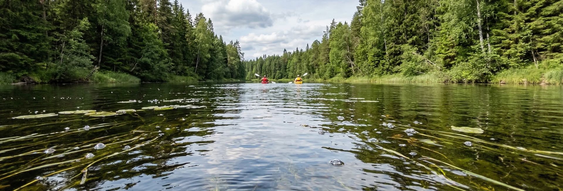
Kayaking is the most popular activity here, with the water conditions supporting a range of skill levels. Canoeists can enjoy the calmer sections for a relaxed paddle. The Northeast offers seasonal paddling with vibrant fall foliage and warm summer days on the water.
Conditions here tend to be calm and flatwater, making it suitable for paddlers of all skill levels. Plan your visit for March through November. Facilities include boat ramp and parking.
At about 5 min from Phoenix, Highway 481 Bridge, Clay, Mile 159.42 is a practical choice for paddlers based in the Phoenix area.
Planning a trip? Read our complete paddler's guide to Phoenix.
Launch points, tips, and local conditions →
New to paddling? This is a great beginner spot.
Calm canal waters make Highway 481 Bridge, Clay, Mile 159.42 ideal for first-timers. Make sure you have the right gear:
Paddling Tips
- •Canal banks can be steep — look for designated launch points or gentle slopes.
- •Motor boats may create wake in narrow canals — brace for waves when they pass.
- •Canals often run through interesting urban or agricultural areas worth exploring.
Frequently Asked Questions
- How do I access Highway 481 Bridge, Clay, Mile 159.42?
- Highway 481 Bridge, Clay, Mile 159.42 is a public boat ramp in New York. There is no entrance fee.
- What activities are available at Highway 481 Bridge, Clay, Mile 159.42?
- Highway 481 Bridge, Clay, Mile 159.42 supports kayaking, canoeing, stand up paddleboarding. The difficulty level is rated beginner, making it great for all skill levels.
- What amenities are at Highway 481 Bridge, Clay, Mile 159.42?
- On-site amenities include boat ramp, parking. Parking: Parking lot available at boat ramp facility.
- When is the best time to visit Highway 481 Bridge, Clay, Mile 159.42?
- The best time to paddle at Highway 481 Bridge, Clay, Mile 159.42 is during spring and summer and fall. March through November
- What are the water conditions at Highway 481 Bridge, Clay, Mile 159.42?
- Water conditions at Highway 481 Bridge, Clay, Mile 159.42 include calm, flatwater.
- Is Highway 481 Bridge, Clay, Mile 159.42 good for beginners?
- Yes, Highway 481 Bridge, Clay, Mile 159.42 is rated beginner difficulty, making it an excellent choice for first-time paddlers and families. Calm, sheltered water suitable for first-time paddlers. No significant current or wave hazards expected.
Location data: USGS ScienceBase · Water conditions: USGS NWIS · Weather: National Weather Service · Coordinates: 43.2104, -76.2662
Quick Facts
- State
- New York
- Region
- Northeast
- Getting There
- ~5 min from Phoenix
43.2104, -76.2662
Best Paddling in New York
Read our complete guide →
Paddler Reviews
Write a Review
Trip Reports
Share a trip report
Sign in to write a detailed trip report for Highway 481 Bridge, Clay, Mile 159.42
Sign InPaddle Routes from Here
No paddle routes from this location yet.
Be the first to create one!
Nearby Paddling
Oneida River
New York · 0.0 mi
Phoenix, Mile 2.33
New York · 2.4 mi
Community Park, Mile 171.53
New York · 5.1 mi

Oneida Shores County Park, Mile 148.78
New York · 8.0 mi

Onondaga Lake Marina, Mile 167.18
New York · 8.1 mi
Stop 28, Mile 9.38
New York · 8.4 mi