Best Places to Kayak Near Ochopee, FL
30 public launch points within 50 miles of Ochopee, ranked by water conditions, access, and amenities.
Top Picks Near Ochopee
 1
1The Fishing Hole
Standout kayak fishing on Chokoloskee Bay
 2
2Big Cypress Addition Lands Recreation Access (Alligator Alley Mile 51)
Calm, sheltered water that's ideal for beginners and paddle boarding
 3
3Big Cypress National Preserve - Halfway Creek - Seagrape Boat Launch (Primitive)
Well-equipped launch with boat ramp, parking, dock
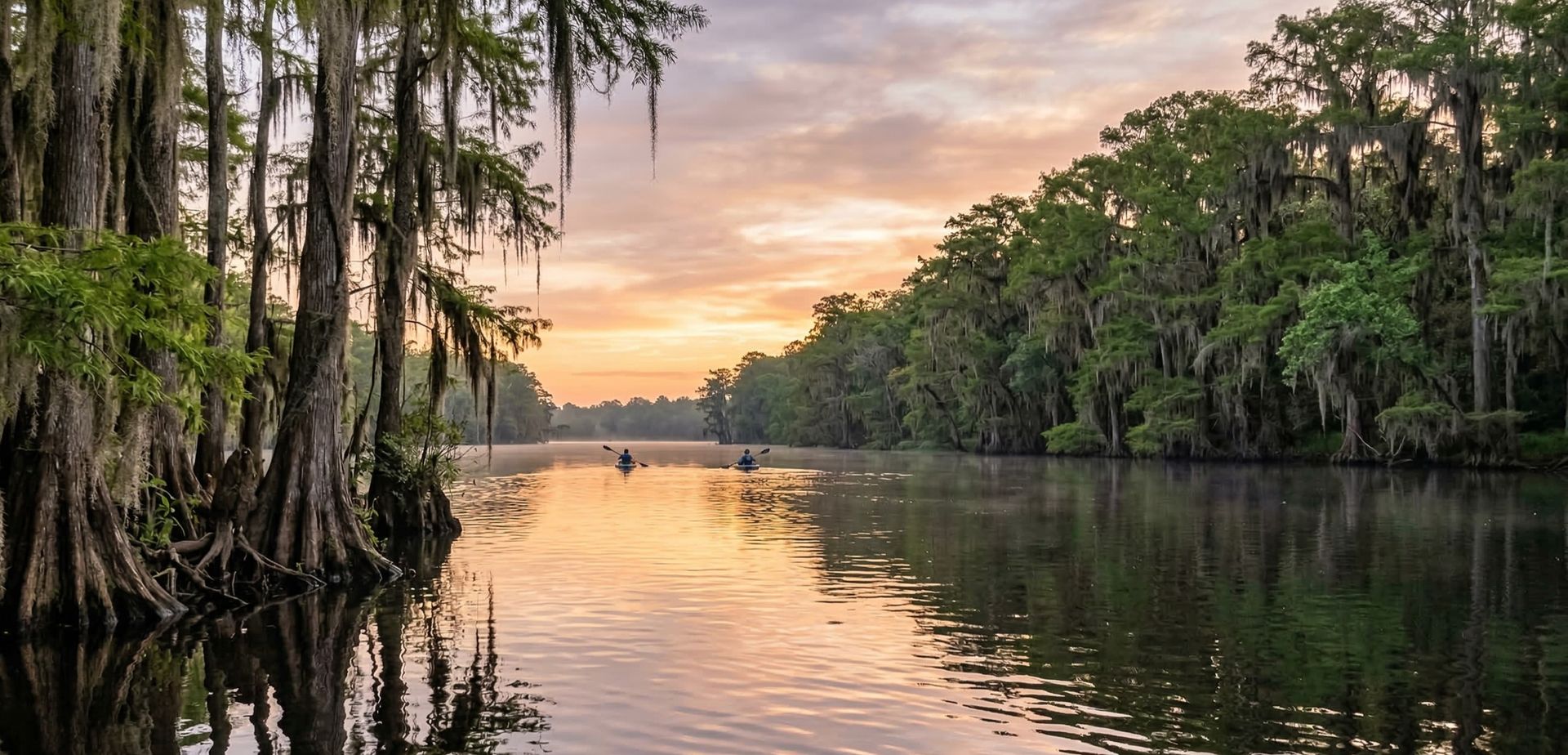
Big Cypress National Preserve - Turner River Canoe Launch
Florida · 11.2 mi
Big Cypress National Preserve - Dona Drive Boat Launch (Shallow, Not Suitable for Outboards)
Florida · 13.3 mi
Big Cypress National Preserve - Halfway Creek - Seagrape Boat Launch (Primitive)
Florida · 14.2 mi
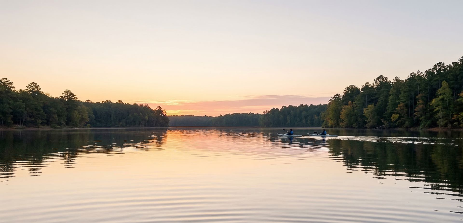
Fakahatchee Strand Preserve State Park - Jones Grade Lakes Kayak Access
Florida · 18.3 mi
The Fishing Hole
Florida · 18.6 mi

Glades Haven RV Park, Bait and Tackle
Florida · 18.9 mi

Chokoloskee Island Park & Marina
Florida · 19.0 mi
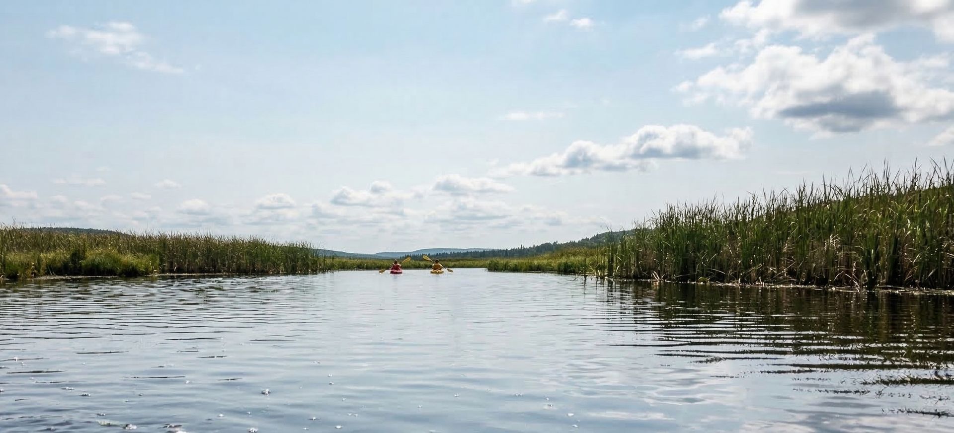
Everglades National Park - Gulf Coast Visitor Center - Canoe/Kayak Launch
Florida · 19.0 mi
Big Cypress Addition Lands Recreation Access (Alligator Alley Mile 51)
Florida · 19.4 mi
Fakahatchee Strand Preserve State Park - East River DOT Wayside Park
Florida · 20.5 mi
Fakahatchee Strand Preserve State Park - Faka Union River Paddling Trail
Florida · 22.9 mi

Tamiami Trail 40 Mile Bend Primitive Public Boat Ramp
Florida · 23.6 mi

Everglades WMA - Tamiami Trail (21 mile) at S-12-A (Forty Mile Bend)
Florida · 24.1 mi
Port of The Islands Resort & Marina
Florida · 24.3 mi

Big Cypress North Feeder Canal - South Boat Ramp
Florida · 25.1 mi
Ten Thousand Islands N.W.R - Waterfowl Hunting Trail #4
Florida · 25.3 mi

Big Cypress North Feeder Canal - North Boat Ramp
Florida · 25.7 mi
Ten Thousand Islands N.W.R - Waterfowl Hunting Trail #3
Florida · 26.3 mi
Ten Thousand Islands N.W.R - Waterfowl Hunting Trail #2 (Marsh Trail and Observation Tower)
Florida · 26.9 mi
Ten Thousand Islands N.W.R - Waterfowl Hunting Trail #1
Florida · 27.1 mi
Everglades WMA - Alligator Alley - Mile 40.7 East Bound
Florida · 27.5 mi

L-3 Canal West Primitive Access
Florida · 28.4 mi
Everglades WMA - Tamiami Trail (15 mile) at S-12-C
Florida · 28.7 mi

Collier-Seminole State Park
Florida · 29.4 mi
Everglades WMA - Alligator Alley - Mile 38.1 West Bound
Florida · 29.8 mi
Rotenberger WMA L-3 & L-4 Canals East Primitive Access
Florida · 30.0 mi
Everglades WMA - Tamiami Trail (12 mile) at S-12-D
Florida · 31.1 mi
Everglades WMA - Tamiami Trail (11 mile) at L-67C Canal
Florida · 31.5 mi
Everglades WMA - Tamiami Trail (11 mile) at L-67A Canal
Florida · 31.6 mi
Everglades WMA - Alligator Alley - Mile 35 Rest Area South West
Florida · 32.1 mi
Paddling Near Other Cities
Widen your search to towns within an hour of Ochopee.
Frequently Asked Questions
What are the best places to kayak near Ochopee, FL?
Top picks near Ochopee include The Fishing Hole, Big Cypress Addition Lands Recreation Access (Alligator Alley Mile 51), Big Cypress National Preserve - Halfway Creek - Seagrape Boat Launch (Primitive). In total there are 30 public launch points within 50 miles, with paddling on canals, rivers, lakes.
What types of paddling can I do near Ochopee?
Near Ochopee you'll find opportunities for kayaking, canoeing, and stand-up paddle boarding. Most locations offer beginner-friendly conditions with public boat ramp access.
Are there free kayak launches near Ochopee?
Yes! Most public boat ramps near Ochopee are free to use. Some state parks and recreation areas may charge a small parking or entrance fee.