Activity
Conditions
Amenities
Best Time to Visit
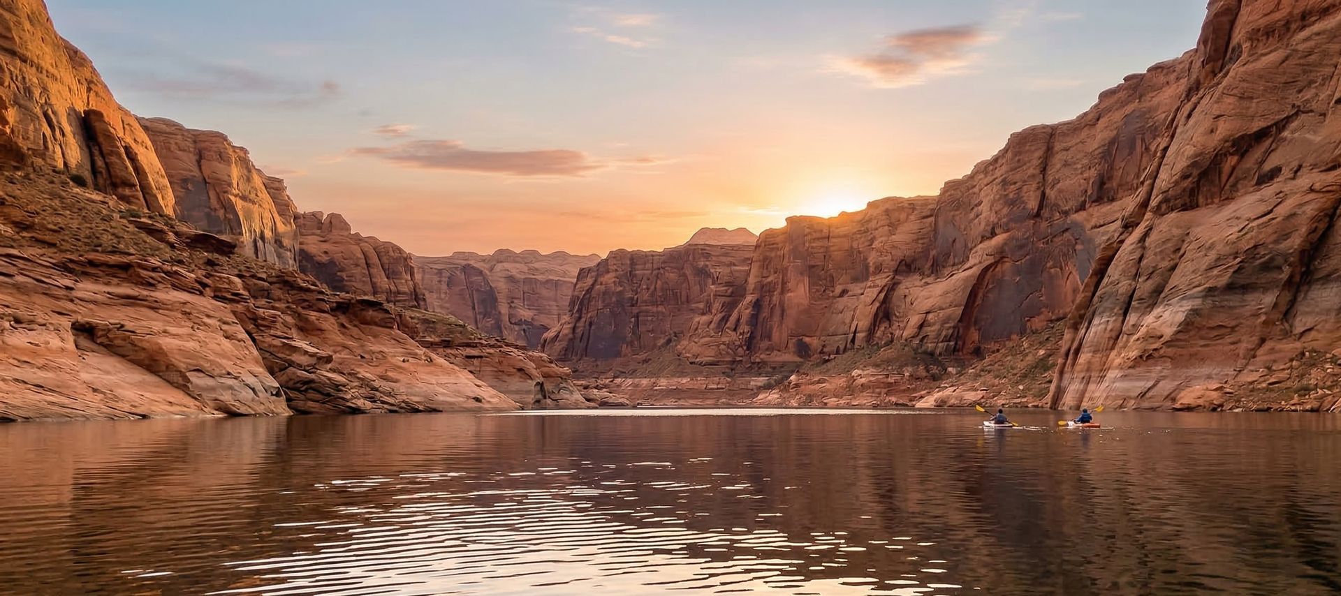
Johnson Reservoir
Johnson Reservoir is a public boat ramp on reservoir Montana. This beginner-level spot offers kayaking, canoeing, kayak fishing. Amenities include boat ramp. Best visited in summer.
At a Glance
Water Body
Reservoir
Launch Type
Boat Ramp
Difficulty
Beginner
Fee
Free
Activities
Kayaking, Canoeing, Kayak Fishing
About This Location
Public launch on local reservoir waters in Montana. Beginner-friendly reservoir paddling.
Paddlers in Montana can reach local reservoir waters via Johnson Reservoir, where reservoir waters create reliable flatwater conditions.
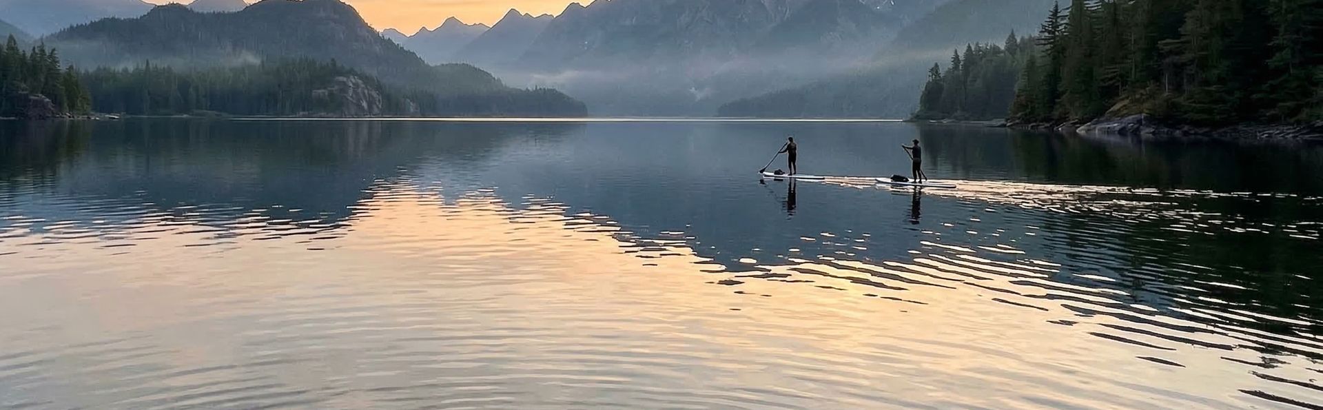
This is a solid spot for kayaking, with enough room to settle into a comfortable paddling rhythm. Canoeing works well here, especially for those looking for a peaceful day on the water.
You can expect calm and sheltered water when paddling here. The recommended season runs June through August. Facilities include boat ramp.
New to paddling? This is a great beginner spot.
Calm reservoir waters make Johnson Reservoir ideal for first-timers. Make sure you have the right gear:
Paddling Tips
- •Check local conditions before heading out.
- •Wear a properly fitting PFD at all times while on the water.
- •Let someone know your planned route and expected return time.
Frequently Asked Questions
- How do I access Johnson Reservoir?
- Johnson Reservoir is a public boat ramp in Montana. There is no entrance fee.
- What activities are available at Johnson Reservoir?
- Johnson Reservoir supports kayaking, canoeing, kayak fishing. The difficulty level is rated beginner, making it great for all skill levels.
- What amenities are at Johnson Reservoir?
- On-site amenities include boat ramp.
- When is the best time to visit Johnson Reservoir?
- The best time to paddle at Johnson Reservoir is during summer. June through August
- What are the water conditions at Johnson Reservoir?
- Water conditions at Johnson Reservoir include calm, sheltered.
- Is Johnson Reservoir good for beginners?
- Yes, Johnson Reservoir is rated beginner difficulty, making it an excellent choice for first-time paddlers and families.
Location data: USGS ScienceBase · Water conditions: USGS NWIS · Weather: National Weather Service · Coordinates: 47.3132, -105.0964
Quick Facts
- State
- Montana
- Region
- Rocky Mountains
- Coordinates
- 47.3132, -105.0964
Best Paddling in Montana
Read our complete guide →
Paddler Reviews
Write a Review
Trip Reports
Paddle Routes from Here
No paddle routes from this location yet.
Be the first to create one!
Nearby Paddling
Stipek
Montana · 21.9 mi

Black Bridge
Montana · 22.7 mi

Intake Dam
Montana · 26.8 mi

Fallon Bridge
Montana · 31.6 mi

Sidney Bridge
Montana · 50.4 mi
Bonfield
Montana · 52.0 mi