Activity
Conditions
Amenities
Best Time to Visit
Clarks Fork Yellowstone
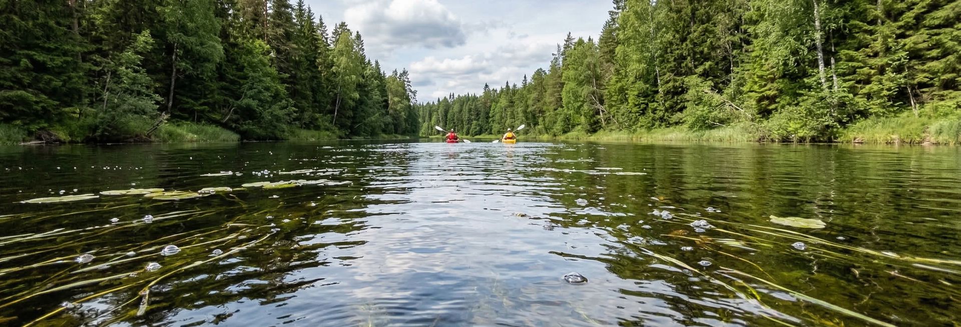
Clarks Fork Yellowstone is a public boat ramp on river Montana. This beginner-level spot offers kayaking, canoeing. Amenities include boat ramp, camping. Best visited in summer.
At a Glance
Water Body
River
Launch Type
Boat Ramp
Difficulty
Beginner
Fee
Free
Activities
Kayaking, Canoeing
About This Location
Boat Ramp accessing local river waters, Montana. mild current conditions.
Paddlers heading out on local river waters will find Clarks Fork Yellowstone in Montana a reliable starting point with established launch facilities.
This is a solid spot for kayaking, with enough room to settle into a comfortable paddling rhythm. Canoeing works well here, especially for those looking for a peaceful day on the water.
You can expect mild current water when paddling here. The recommended season runs June through August. Facilities include boat ramp and camping.
Paddling Tips
- •Check local conditions before heading out.
- •Wear a properly fitting PFD at all times while on the water.
- •Let someone know your planned route and expected return time.
Frequently Asked Questions
- How do I access Clarks Fork Yellowstone?
- Clarks Fork Yellowstone is a public boat ramp in Montana. There is no entrance fee.
- What activities are available at Clarks Fork Yellowstone?
- Clarks Fork Yellowstone supports kayaking, canoeing. The difficulty level is rated beginner, making it great for all skill levels.
- What amenities are at Clarks Fork Yellowstone?
- On-site amenities include boat ramp, camping.
- When is the best time to visit Clarks Fork Yellowstone?
- The best time to paddle at Clarks Fork Yellowstone is during summer. June through August
- What are the water conditions at Clarks Fork Yellowstone?
- Water conditions at Clarks Fork Yellowstone include mild current.
- Is Clarks Fork Yellowstone good for beginners?
- Yes, Clarks Fork Yellowstone is rated beginner difficulty, making it an excellent choice for first-time paddlers and families.
Location data: USGS ScienceBase · Water conditions: USGS NWIS · Weather: National Weather Service · Coordinates: 45.2643, -108.9150
Quick Facts
- State
- Montana
- Region
- Rocky Mountains
- Coordinates
- 45.2643, -108.9150
Best Paddling in Montana
Read our complete guide →
Paddler Reviews
Write a Review
Trip Reports
Paddle Routes from Here
No paddle routes from this location yet.
Be the first to create one!
Nearby Paddling

Bridger
Montana · 2.3 mi
Weymiller
Montana · 17.9 mi

Cooney Reservoir State Park - Lakeshore
Montana · 18.8 mi

Cooney Reservoir State Park - Northshore
Montana · 19.3 mi
Cooney Reservoir State Park - Red Lodge Creek
Montana · 19.5 mi

Buffalo Mirage
Montana · 24.3 mi