Activity
Conditions
Taylors Landing Access
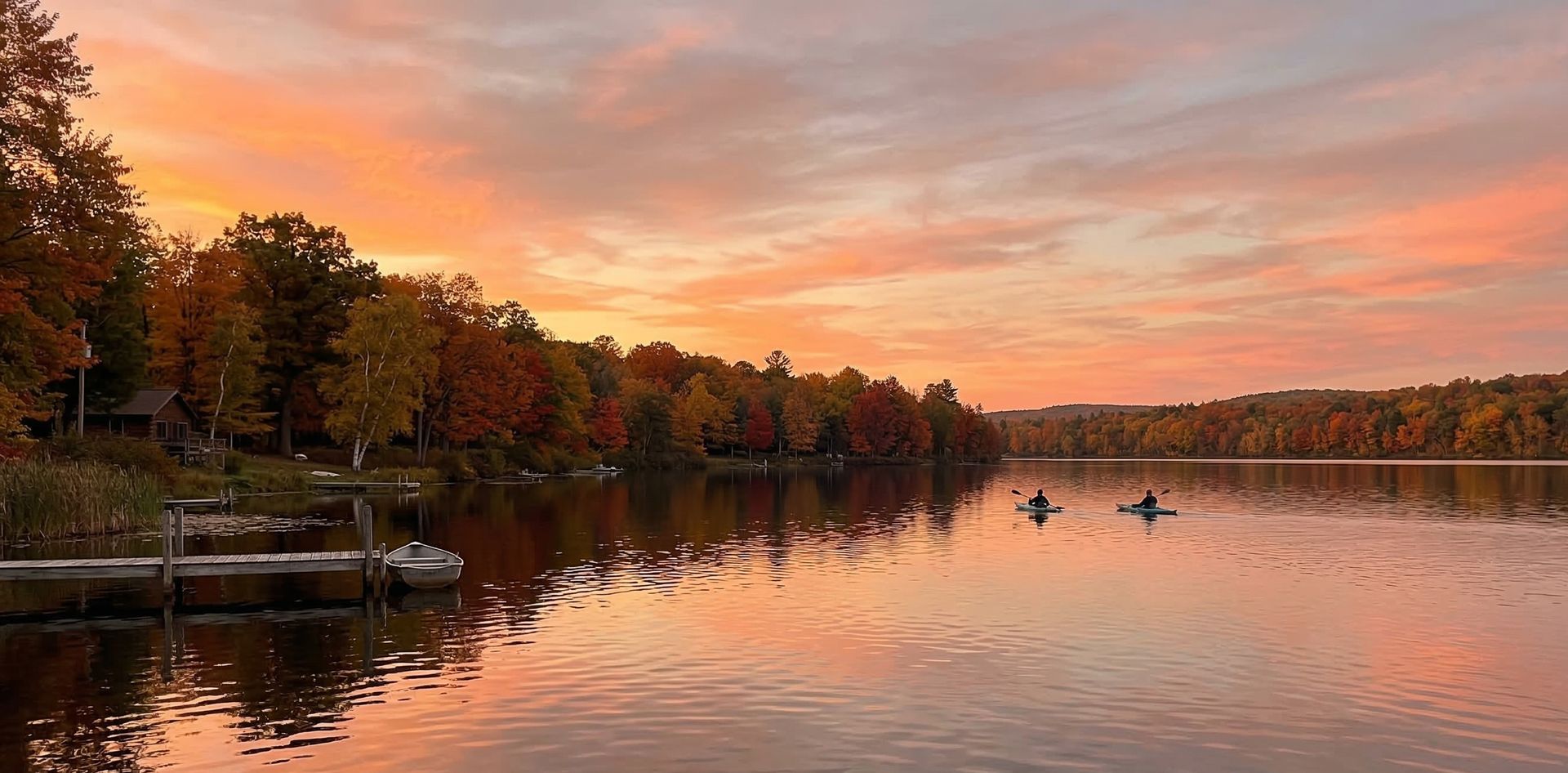
Taylors Landing Access is a public boat ramp on lake Missouri. This beginner-level spot offers kayaking, canoeing, paddleboarding. Best visited in spring and summer and fall.
At a Glance
Water Body
Lake
Launch Type
Boat Ramp
Difficulty
Beginner
Fee
Free
Activities
Kayaking, Canoeing, SUP, Kayak Fishing
About This Location
Lake access at Taylors Landing Access, Missouri. Good for kayaking and canoeing.
Situated on local lake waters in Missouri, Taylors Landing Access is a launch point for kayakers, canoeists, and SUP enthusiasts.
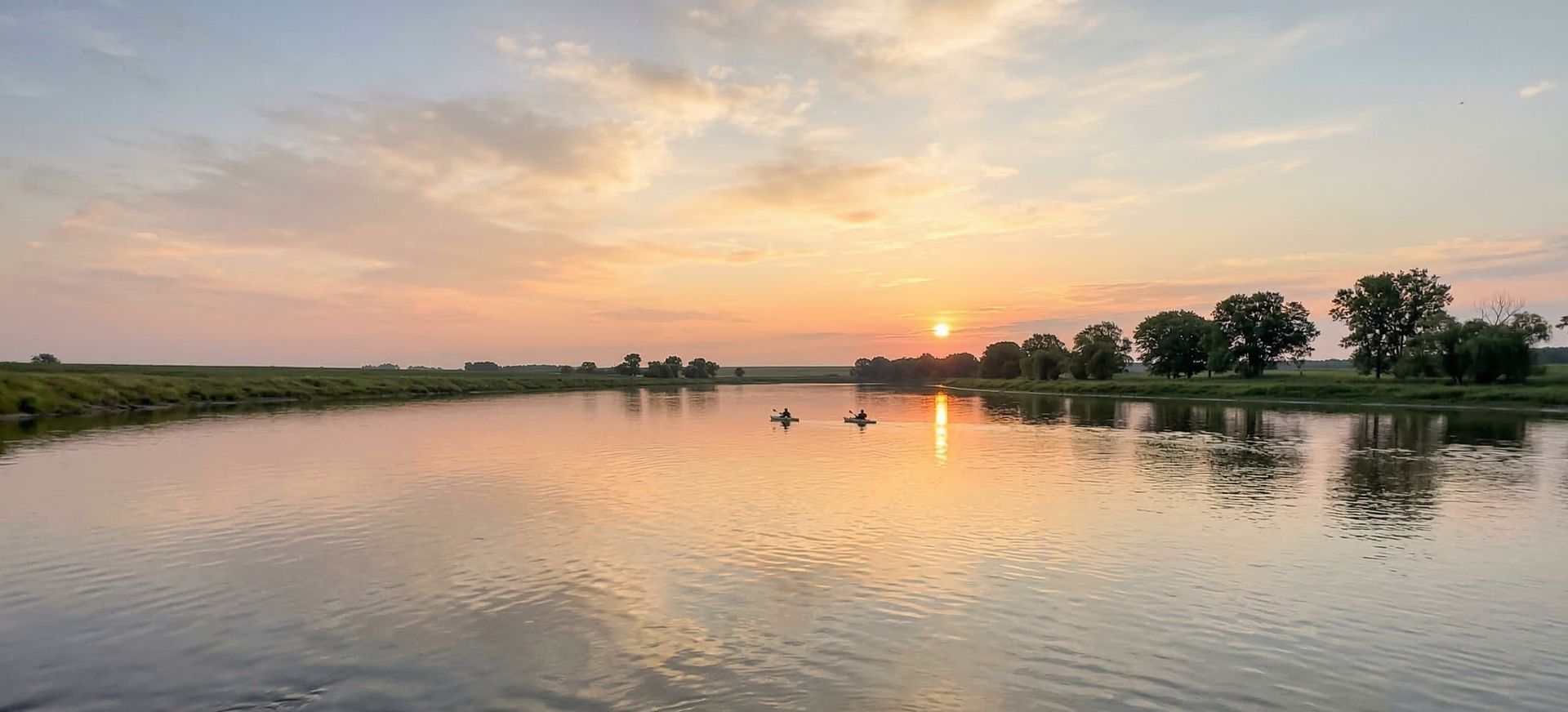
This is a solid spot for kayaking, with enough room to settle into a comfortable paddling rhythm. Canoeing works well here, especially for those looking for a peaceful day on the water.
Water conditions are generally calm and sheltered. March through November is the recommended window for paddling here.
New to paddling? This is a great beginner spot.
Calm lake waters make Taylors Landing Access ideal for first-timers. Make sure you have the right gear:
Paddling Tips
- •Check local conditions before heading out.
- •Wear a properly fitting PFD at all times while on the water.
- •Let someone know your planned route and expected return time.
Frequently Asked Questions
- How do I access Taylors Landing Access?
- Taylors Landing Access is a public boat ramp in Missouri. There is no entrance fee.
- What activities are available at Taylors Landing Access?
- Taylors Landing Access supports kayaking, canoeing, stand up paddleboarding, kayak fishing. The difficulty level is rated beginner, making it great for all skill levels.
- When is the best time to visit Taylors Landing Access?
- The best time to paddle at Taylors Landing Access is during spring and summer and fall. March through November
- What are the water conditions at Taylors Landing Access?
- Water conditions at Taylors Landing Access include calm, sheltered.
- Is Taylors Landing Access good for beginners?
- Yes, Taylors Landing Access is rated beginner difficulty, making it an excellent choice for first-time paddlers and families.
Location data: USGS ScienceBase · Water conditions: USGS NWIS · Weather: National Weather Service · Coordinates: 38.9483, -92.5356
Quick Facts
- State
- Missouri
- Region
- Midwest
- Coordinates
- 38.9483, -92.5356
Best Paddling in Missouri
Read our complete guide →
Paddler Reviews
Write a Review
Trip Reports
Paddle Routes from Here
No paddle routes from this location yet.
Be the first to create one!
Nearby Paddling
Taylors Landing Access
Missouri · 1.1 mi

Dairy Farm Lake No.1 (University of Missouri)
Missouri · 4.0 mi
Huntsdale Access
Missouri · 4.4 mi
Eagle Bluffs Conservation Area
Missouri · 8.8 mi
Eagle Bluffs Conservation Area
Missouri · 9.2 mi
Eagle Bluffs Conservation Area
Missouri · 9.4 mi