Activity
Conditions
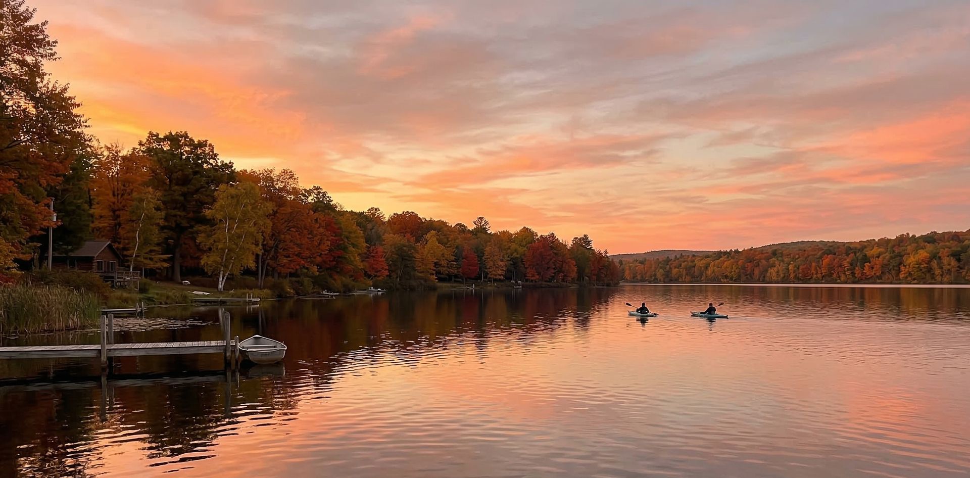
Bob Brown Conservation Area
Bob Brown Conservation Area is a public boat ramp on lake Missouri. This beginner-level spot offers kayaking, canoeing, paddleboarding. Best visited in spring and summer and fall.
At a Glance
Water Body
Lake
Launch Type
Boat Ramp
Difficulty
Beginner
Fee
Free
Activities
Kayaking, Canoeing, SUP, Kayak Fishing
About This Location
Public launch on local lake waters in Missouri. Beginner-friendly lake paddling.
Paddlers visiting local lake waters in Missouri can launch from Bob Brown Conservation Area, a well-positioned access point on the lake.
This is a solid spot for kayaking, with enough room to settle into a comfortable paddling rhythm. Canoeing works well here, especially for those looking for a peaceful day on the water.
You can expect calm and sheltered water when paddling here. The recommended season runs March through November.
New to paddling? This is a great beginner spot.
Calm lake waters make Bob Brown Conservation Area ideal for first-timers. Make sure you have the right gear:
Paddling Tips
- •Check local conditions before heading out.
- •Wear a properly fitting PFD at all times while on the water.
- •Let someone know your planned route and expected return time.
Frequently Asked Questions
- How do I access Bob Brown Conservation Area?
- Bob Brown Conservation Area is a public boat ramp in Missouri. There is no entrance fee.
- What activities are available at Bob Brown Conservation Area?
- Bob Brown Conservation Area supports kayaking, canoeing, stand up paddleboarding, kayak fishing. The difficulty level is rated beginner, making it great for all skill levels.
- When is the best time to visit Bob Brown Conservation Area?
- The best time to paddle at Bob Brown Conservation Area is during spring and summer and fall. March through November
- What are the water conditions at Bob Brown Conservation Area?
- Water conditions at Bob Brown Conservation Area include calm, sheltered.
- Is Bob Brown Conservation Area good for beginners?
- Yes, Bob Brown Conservation Area is rated beginner difficulty, making it an excellent choice for first-time paddlers and families.
Location data: USGS ScienceBase · Water conditions: USGS NWIS · Weather: National Weather Service · Coordinates: 39.9652, -95.2627
Quick Facts
- State
- Missouri
- Region
- Midwest
- Coordinates
- 39.9652, -95.2627
Best Paddling in Missouri
Read our complete guide →
Paddler Reviews
Write a Review
Trip Reports
Paddle Routes from Here
No paddle routes from this location yet.
Be the first to create one!
Nearby Paddling
Bob Brown Conservation Area
Missouri · 0.8 mi

Bob Brown Conservation Area
Missouri · 1.4 mi
Bob Brown Conservation Area
Missouri · 2.5 mi

Payne Landing Access
Missouri · 6.7 mi

Rulo
Nebraska · 10.2 mi
Nodaway Valley Conservation Area
Missouri · 13.0 mi