Walton River - North Lake
Walton River - North Lake is a public boat ramp on Walton River Michigan. This beginner-level spot offers kayaking, canoeing. Amenities include parking. Best visited in summer.
Paddled Walton River - North Lake? Share what the water, parking, and access were like to help other paddlers.Write a review →At a Glance
Water Body
River
Launch Type
Boat Ramp
Difficulty
Beginner
Fee
Free
Hours
Open at all times
Activities
Kayaking, Canoeing
Parking
2 car spots
About This Location
Boat Ramp in Michigan on Walton River. Amenities include parking.
Walton River - North Lake is a boat ramp in Michigan on Walton River. This Michigan launch point provides access for kayaking, canoeing, and paddleboarding. Amenities include parking.
Have you paddled Walton River - North Lake?
Add a quick review to help other paddlers know what to expect. No account needed.
Write a review →Paddling Tips
- •Check local conditions before heading out.
- •Wear a properly fitting PFD at all times while on the water.
- •Let someone know your planned route and expected return time.
Frequently Asked Questions
- How do I access Walton River - North Lake?
- Walton River - North Lake is a public boat ramp in Michigan. There is no entrance fee. Hours: Open at all times.
- What activities are available at Walton River - North Lake?
- Walton River - North Lake supports kayaking, canoeing. The difficulty level is rated beginner, making it great for all skill levels.
- What amenities are at Walton River - North Lake?
- On-site amenities include parking. Parking: 2 car spots.
- When is the best time to visit Walton River - North Lake?
- The best time to paddle at Walton River - North Lake is during summer. June through August
- What are the water conditions at Walton River - North Lake?
- Water conditions at Walton River - North Lake include mild current.
- Is Walton River - North Lake good for beginners?
- Yes, Walton River - North Lake is rated beginner difficulty, making it an excellent choice for first-time paddlers and families.
Location data: USGS ScienceBase · Water conditions: USGS NWIS · Weather: National Weather Service · Coordinates: 45.4049, -87.4737
Quick Facts
- State
- Michigan
- Region
- Great Lakes
- Coordinates
- 45.4049, -87.4737
Best Paddling in Michigan
Read our complete guide →
Paddler Reviews
Write a Review
Trip Reports
Share a trip report
Sign in to write a detailed trip report for Walton River - North Lake
Paddle Routes from Here
No paddle routes from this location yet.
Be the first to create one!
Nearby Paddling
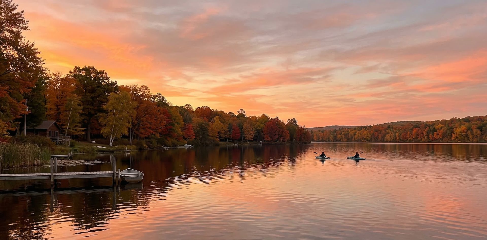
Hayward Lake Flooding
Michigan · 3.6 mi

Cedar River State Harbor
Michigan · 6.0 mi
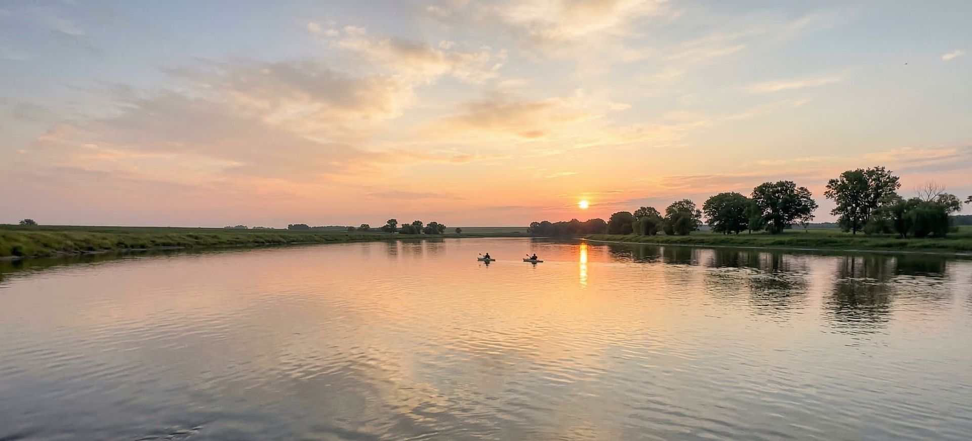
Cedar River North State Forest Campground
Michigan · 7.5 mi

Grand Rapids Flowage
Wisconsin · 9.5 mi

Highway JJ Bridge
Wisconsin · 10.7 mi

S 4 Road Brodge
Michigan · 11.1 mi