Activity
Conditions
Amenities
Neatsville Bridge
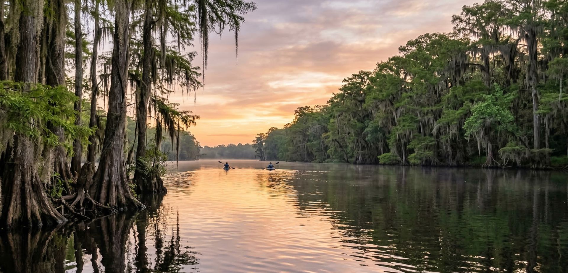
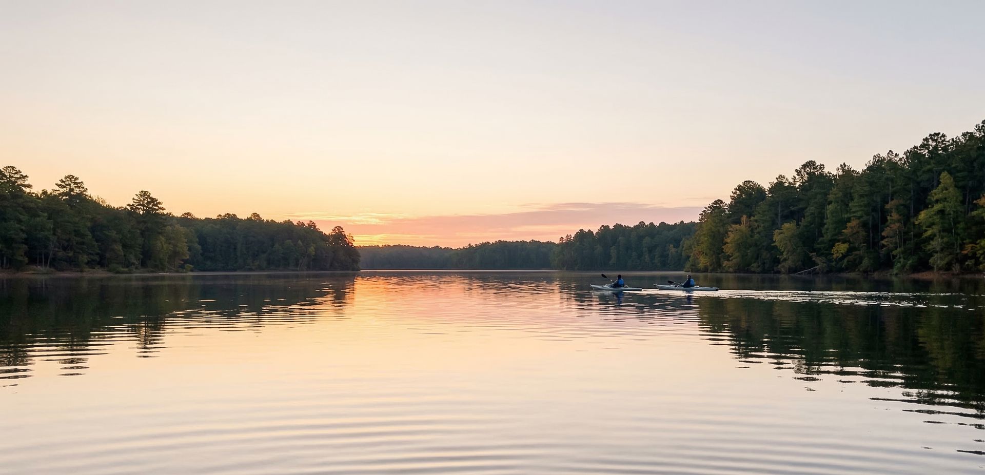
Neatsville Bridge is a public boat ramp on Green River - Upper Kentucky. This beginner-level spot offers kayaking, canoeing. Amenities include parking, restrooms, camping. Best visited in spring and summer and fall.
At a Glance
Water Body
River
Launch Type
Boat Ramp
Difficulty
Beginner
Fee
Free
Activities
Kayaking, Canoeing
About This Location
Neatsville Bridge offers river paddling on Green River - Upper in Kentucky.
Located in Kentucky, Neatsville Bridge puts you on Green River - Upper with room to explore upstream or downstream from the launch.
Kayakers will find the waters here well-suited to touring and exploration. The waters here are approachable for canoes, making it a good option for family outings.
Water conditions are generally mild current. March through November is the recommended window for paddling here. Facilities include parking and restrooms and camping and picnic area and concessions and ada accessible.
Paddling Tips
- •Check local conditions before heading out.
- •Wear a properly fitting PFD at all times while on the water.
- •Let someone know your planned route and expected return time.
Frequently Asked Questions
- How do I access Neatsville Bridge?
- Neatsville Bridge is a public boat ramp in Kentucky. There is no entrance fee.
- What activities are available at Neatsville Bridge?
- Neatsville Bridge supports kayaking, canoeing. The difficulty level is rated beginner, making it great for all skill levels.
- What amenities are at Neatsville Bridge?
- On-site amenities include parking, restrooms, camping, picnic area, concessions, ada accessible.
- When is the best time to visit Neatsville Bridge?
- The best time to paddle at Neatsville Bridge is during spring and summer and fall. March through November
- What are the water conditions at Neatsville Bridge?
- Water conditions at Neatsville Bridge include mild current.
- Is Neatsville Bridge good for beginners?
- Yes, Neatsville Bridge is rated beginner difficulty, making it an excellent choice for first-time paddlers and families.
Location data: USGS ScienceBase · Water conditions: USGS NWIS · Weather: National Weather Service · Coordinates: 37.1916, -85.1301
Quick Facts
- State
- Kentucky
- Region
- Southeast
- Coordinates
- 37.1916, -85.1301
Best Paddling in Kentucky
Read our complete guide →
Paddler Reviews
Write a Review
Trip Reports
Paddle Routes from Here
No paddle routes from this location yet.
Be the first to create one!
More Paddling on Upper
6 other launches on this water body
KY70 Bridge Carrydown
Kentucky · 12.1 mi
Old Water Plant Carrydown
Kentucky · 14.1 mi
Roachville
Kentucky · 16.5 mi
Roy's Mill Road Access
Kentucky · 16.5 mi
Russell Ford Ramp
Kentucky · 20.0 mi
Rio carrydown
Kentucky · 36.2 mi
Nearby Paddling

Arnolds Landing
Kentucky · 5.2 mi

Snake Creek (Green River Lake Water Management Area)
Kentucky · 5.6 mi
White Oak Ramp GRL
Kentucky · 6.8 mi

Holmes Bend
Kentucky · 8.0 mi

Butler Creek
Kentucky · 9.4 mi
Wilson Creek
Kentucky · 10.2 mi