
Activity
Conditions
Amenities
Best Time to Visit
Whittier
Whittier is a public boat ramp on Pacific Ocean - Passage Canal near Whittier, Alaska. This beginner-level spot offers sea kayaking, paddleboarding. Amenities include boat ramp, parking. Best visited in summer.
At a Glance
Water Body
Ocean
Launch Type
Boat Ramp
Difficulty
Beginner
Activities
Sea Kayaking, SUP
Parking
Parking lot available at boat ramp facility
Cell Service
Good
Sheltered ocean with tidal influence. Time your paddle around slack tide for the easiest conditions. Suitable for beginners with basic awareness of tidal flow.
About This Location
Protected Alaskan sea kayaking in Passage Canal near Whittier with easy access and beginner-friendly conditions.
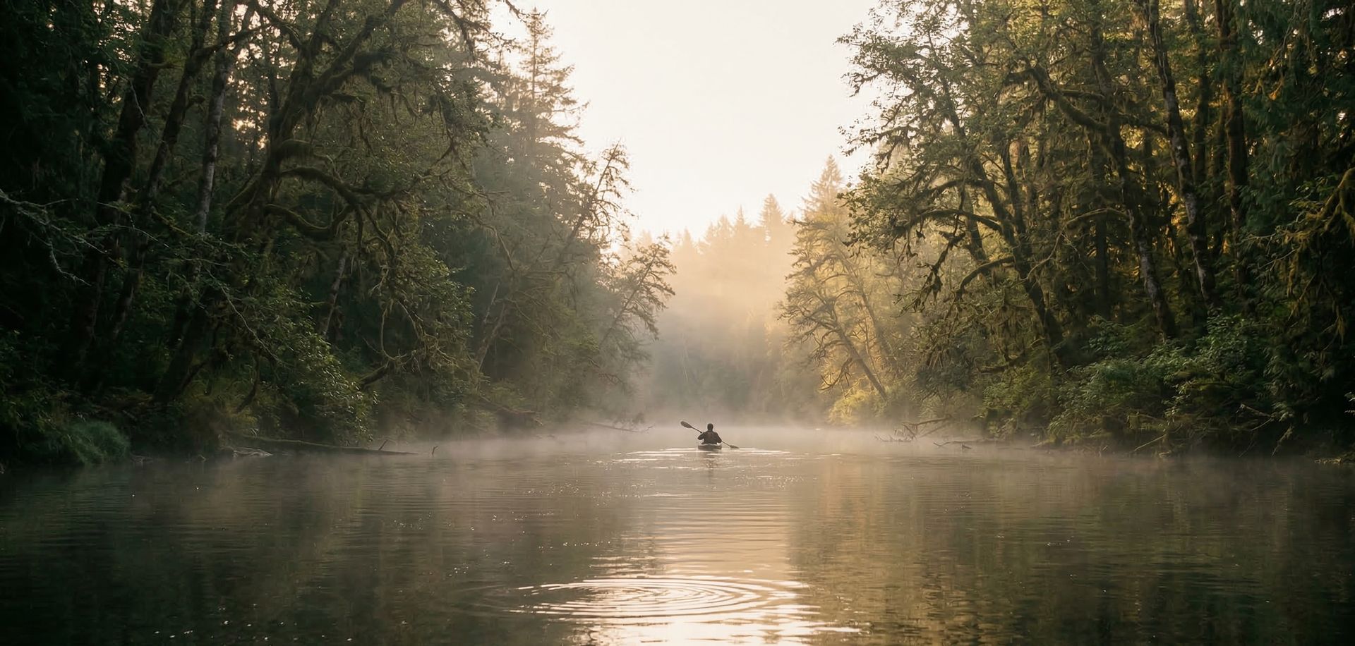
Passage Canal offers protected sea kayaking and SUP access just steps from Whittier's small boat harbor. This scenic arm of water connects to the larger Prince William Sound system, making it ideal for paddlers looking to explore Alaska's coastal environment without committing to a multi-day expedition. The canal runs roughly north-south with steep forested shorelines and frequent wildlife sightings including sea otters, harbor seals, and bald eagles. Because you're launching essentially in town, you can be on the water within minutes of arriving, which makes this an efficient choice for visiting paddlers with limited time.
Passage Canal is a tidal waterway, so plan your paddling around slack water or incoming tides if you're new to tidal paddling. The water is generally calm compared to open Prince William Sound, though wind can pick up in the afternoons, particularly in July and August. Expect cold water temperatures year-round (typically 40-50 degrees Fahrenheit), making a wetsuit essential regardless of air temperature. The protected nature of the canal means beginner paddlers can safely explore here, but always maintain awareness of your tidal window and plan an exit strategy before departing. Visibility is usually good, and the short distances involved mean you can keep paddling straightforward and relaxed.
Launch from the Whittier boat ramp, which is operated by the city and offers parking directly adjacent to the water. June through August represents peak season with the most stable weather and longest daylight hours (nearly 17 hours in June). If you're driving to Whittier, expect a single-lane tunnel road from Portage (it alternates direction by time of day), so check tunnel schedules before heading out. Basic supplies are available in Whittier's small downtown area, though it's wise to bring everything you'll need since options are limited. Several local outfitters offer kayak rentals and guided tours if you prefer not to bring your own gear. Accommodation in Whittier ranges from rustic cabins to the larger Whittier Inn, and many visitors use it as a base for Prince William Sound exploration before or after paddling Passage Canal itself.
Paddling Tips
- •Check tide tables and swell forecasts before launching.
- •Always paddle with a buddy in open ocean conditions.
- •Carry a marine VHF radio or waterproof phone for emergencies.
- •Wear a brightly colored PFD so boats can spot you easily.
Frequently Asked Questions
- How do I access Whittier?
- Whittier is a public boat ramp in Alaska. There is no entrance fee.
- What activities are available at Whittier?
- Whittier supports sea kayaking, stand up paddleboarding. The difficulty level is rated beginner, making it great for all skill levels.
- What amenities are at Whittier?
- On-site amenities include boat ramp, parking. Parking: Parking lot available at boat ramp facility.
- When is the best time to visit Whittier?
- The best time to paddle at Whittier is during summer. June through August
- What are the water conditions at Whittier?
- Water conditions at Whittier include open water, tidal.
- Is Whittier good for beginners?
- Yes, Whittier is rated beginner difficulty, making it an excellent choice for first-time paddlers and families. Sheltered ocean with tidal influence. Time your paddle around slack tide for the easiest conditions. Suitable for beginners with basic awareness of tidal flow.
Location data: USGS ScienceBase · Water conditions: USGS NWIS · Weather: National Weather Service · Coordinates: 60.7769, -148.6859
Paddler Reviews
Write a Review
Trip Reports
Paddle Routes from Here
No paddle routes from this location yet.
Be the first to create one!
Nearby Paddling
Placer River boat launch
Alaska · 10.5 mi

Seward Highway Bridge
Alaska · 10.6 mi

Twentymile River
Alaska · 11.2 mi

Seward Highway Bridge - Chickaloon Bay
Alaska · 11.3 mi

Upper Trail Lake
Alaska · 29.9 mi

Kenai Lake
Alaska · 41.0 mi